Space at the service of water: the work of OiEau

World Space Week (4–10 October) is an opportunity to highlight how satellite remote sensing and space hydrology are transforming water management in the face of climate and environmental challenges.
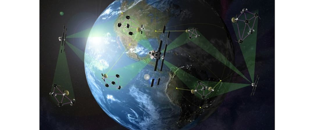
Thanks to satellites, it is now possible to measure water levels in rivers, lakes and wetlands, track flows, monitor floods and droughts, and improve knowledge of transboundary basins that often lack observation networks.
Over several years, OiEau has developed strong expertise in this field through scientific partnerships, operational projects, training and capacity building initiatives.
Through its coordination, innovation and cooperation efforts, OiEau plays a key role in ensuring that these tools are not confined to laboratories, but are put to practical use in local areas and for the benefit of local people.
Between risk prevention, adaptation to climate change, support for watersheds, agriculture, navigation, hydroelectricity, and more, spatial hydrology is opening up new horizons.
Key actions
Since 2014, OiEau has been involved in the working group on space hydrology, bringing together researchers (CNES, IRD, INRAE, etc.), institutions (AFD, etc.) and technical operators to facilitate dialogue between science, technology and operational needs. This work contributed to the launch of the SWOT(Surface Water Ocean Topography) satellite in December 2022, a key space mission combining satellite data, modelling, altimetry, imaging, etc. for water management, flood prevention, etc. across almost all of the Earth's surface waters.
These technological advances are being put to good use in projects such as DYNOBA, with the reconstruction of hydrological data in the Congo basin, flow forecasting and flood warnings in the Niger basin, and the SAGUI warning system in French Guiana.
The SCREEN (Monitoring and Control of Water Resources) project, carried out with the OMVS (Organisation for the Development of the Senegal River), is based on technical exchanges on satellite data, modelling and integration into water information systems.
Similar initiatives are also being carried out in the Chad, Volta and Gambia basins, as well as in Brazil and Suriname (Bio-Plateaux).
Together with the World Meteorological Organisation (WMO), IOWater recently shared its expertise on the use of satellite data for Integrated Water Resources Management (IWRM) during an international training course aimed at strengthening the capacities of National Meteorological and Hydrological Services (NMHS) and basin organisations in Central Africa. The objective is to support decision-making in the areas of early warning, risk management and sustainable water resource management.
This mission of data management, setting up water information systems and promoting knowledge complements the three other areas of expertise (Technical and Institutional Support & Cooperation, Training & Educational Engineering, Facilitation and Development of Stakeholder Networks) that enable OiEau to address the entire water cycle.